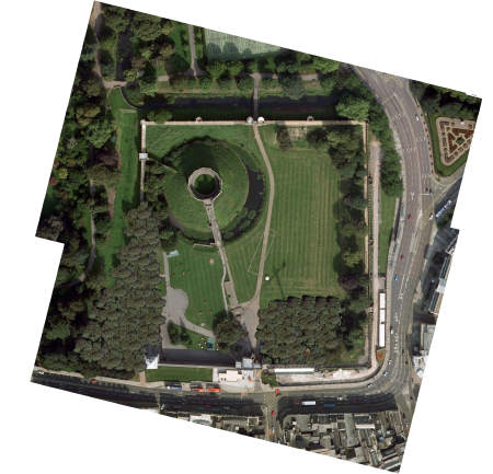
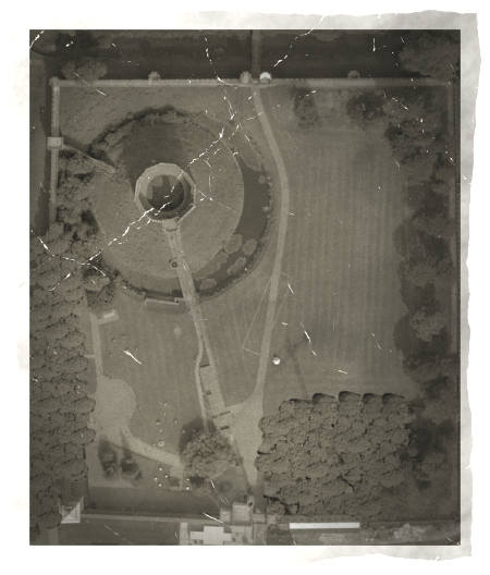
I break in today with something special that I think some of you might like. I needed a picture from the air of the ruins of Cardiff Castle, in June 1939 for my adventure Wicked Times – The Summer Of ’39.
This is how I did it.
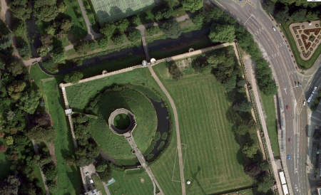
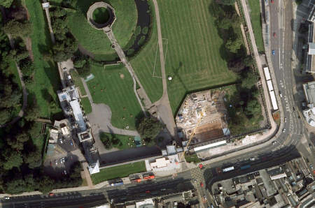
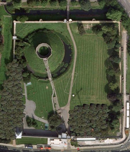
First, I used Google Maps to locate the castle. As I wanted the images as good as possible, and the castle is both large and not aligned to the straight world of maps, I took two screenshots from Google Maps.
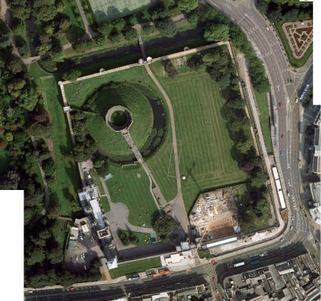
Now I merged these wo images using OmniGraffle, so I got one image.
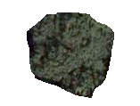
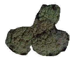
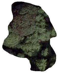
Now, I screenshot some trees from surrounding woods, just to get some trees, and I cut them roughly and made them transparent pngs using GraphicConverter.
I now painted over the areas I wanted to hide with these trees in OmniGraffle, and exported a new image. I then opened the new image and rotated that image using OmniGraffle so it would align.
I cut away unneeded clutter from the image.
Then I ran the Old Photo Filter using FilterForge on the image.
I think this is a good trick of the eye, and shows a nice castle park that could be from 1939.
Comments
Leave a Reply
 Roleplaying

Limbo on 09.29.2010
Brilliant in my opinion! Very nice way to make lots of maps and handouts to the players with “authentic” motivs and places.
Simply brilliant!
admin on 09.29.2010
Thank you!
I used the same technique in “7.50 from Victoria”, but this one required a little more fiddling.
Making adventures for “modern RPG:s” are so much easier when you have some google-fu. You can find small bits and pieces of information that you then can forge into a believable truth, much like todays politicians and journalists do.